Kiawanda Headlands, Oregon coast | 45.2160° N, 123.9705° W
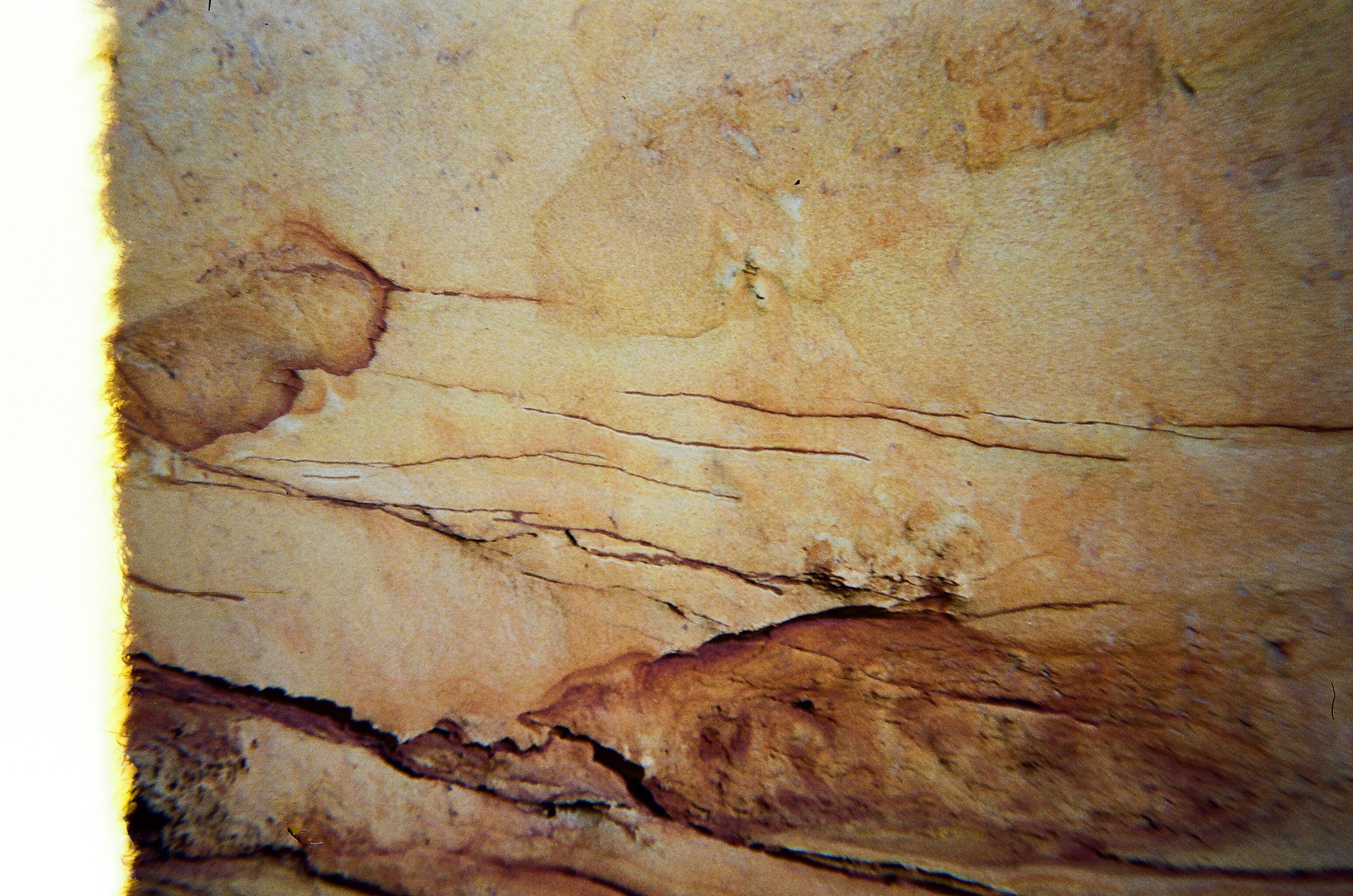
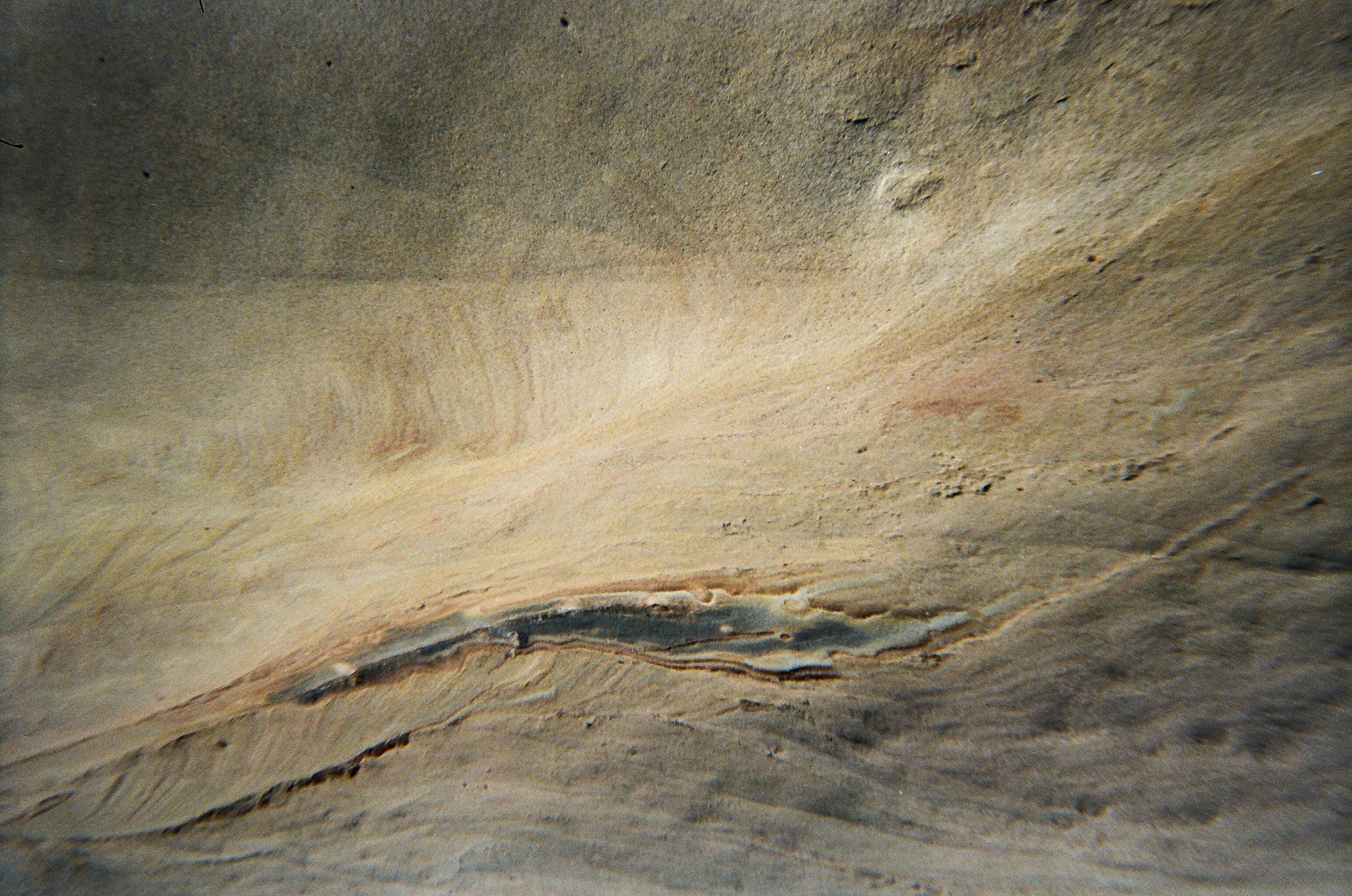
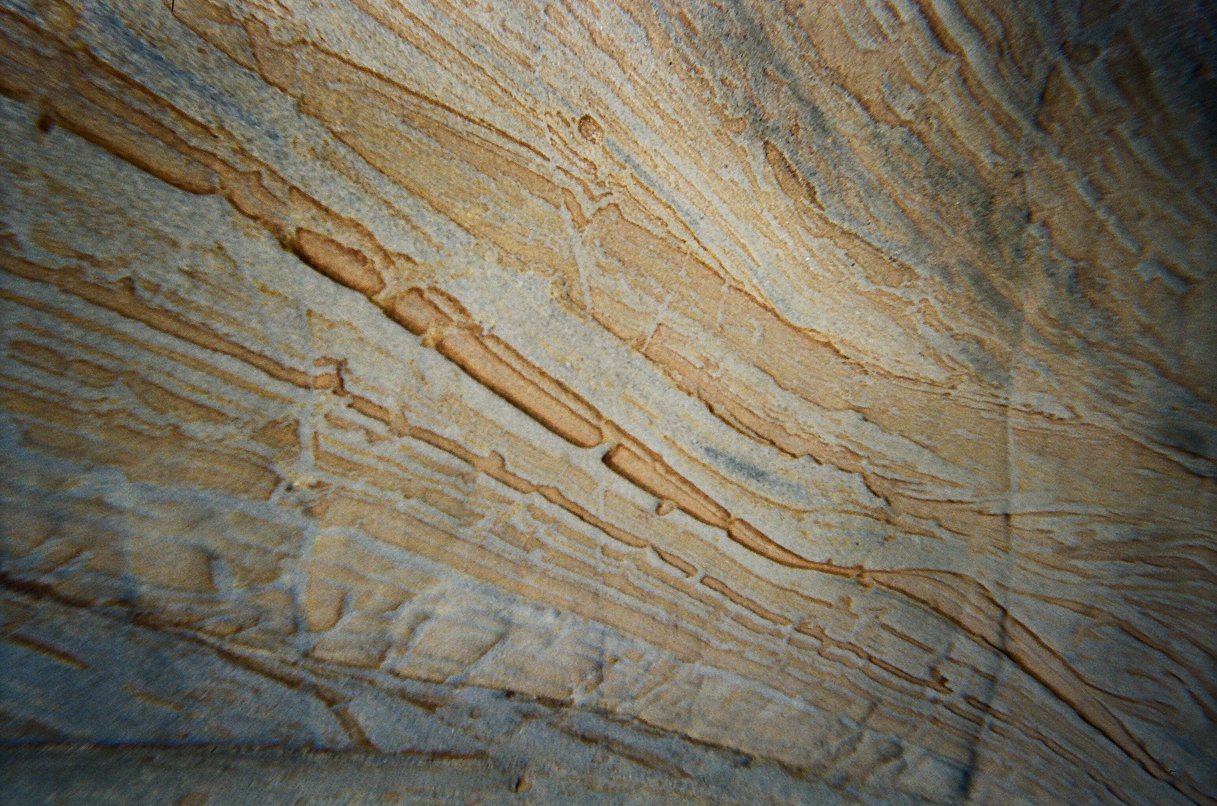
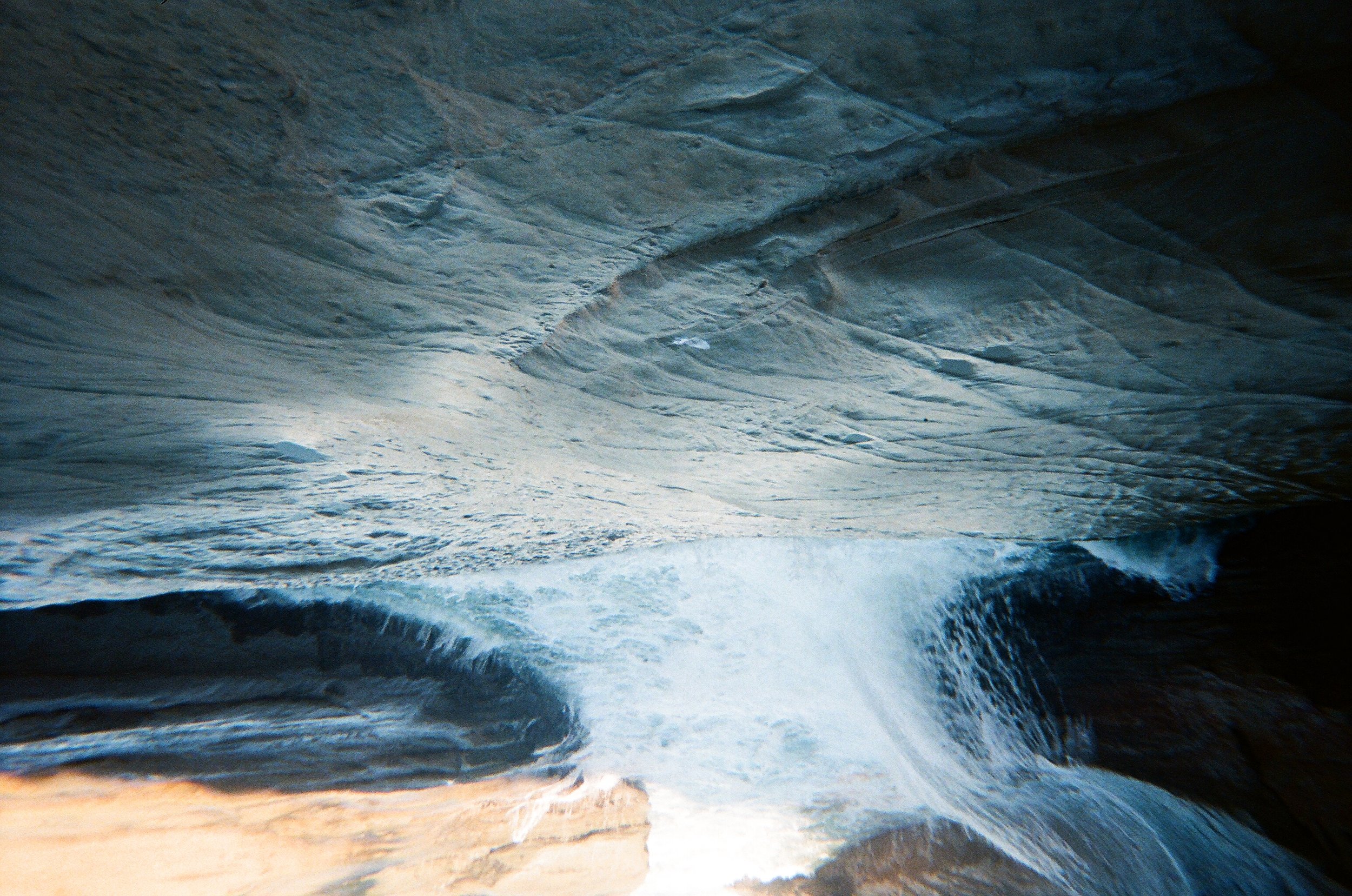
Sometime around 18 million years ago or so, a massive area along what would eventually become the northwest United States had already been carved out by various erosional processes. About then, it started filling back up with other rock debris, primarily sandstone and similar materials. Primarily underwater or around the tide line, it formed a layer of sandstone and mudstone that was eventually named the Astoria Formation, running from the central Oregon coast up to the north coast.This was the very beginning of the headland now known as Cape Kiwanda – the iconic headland at Pacific City that's been known for decades as one “of the most photogenic places in North America.”
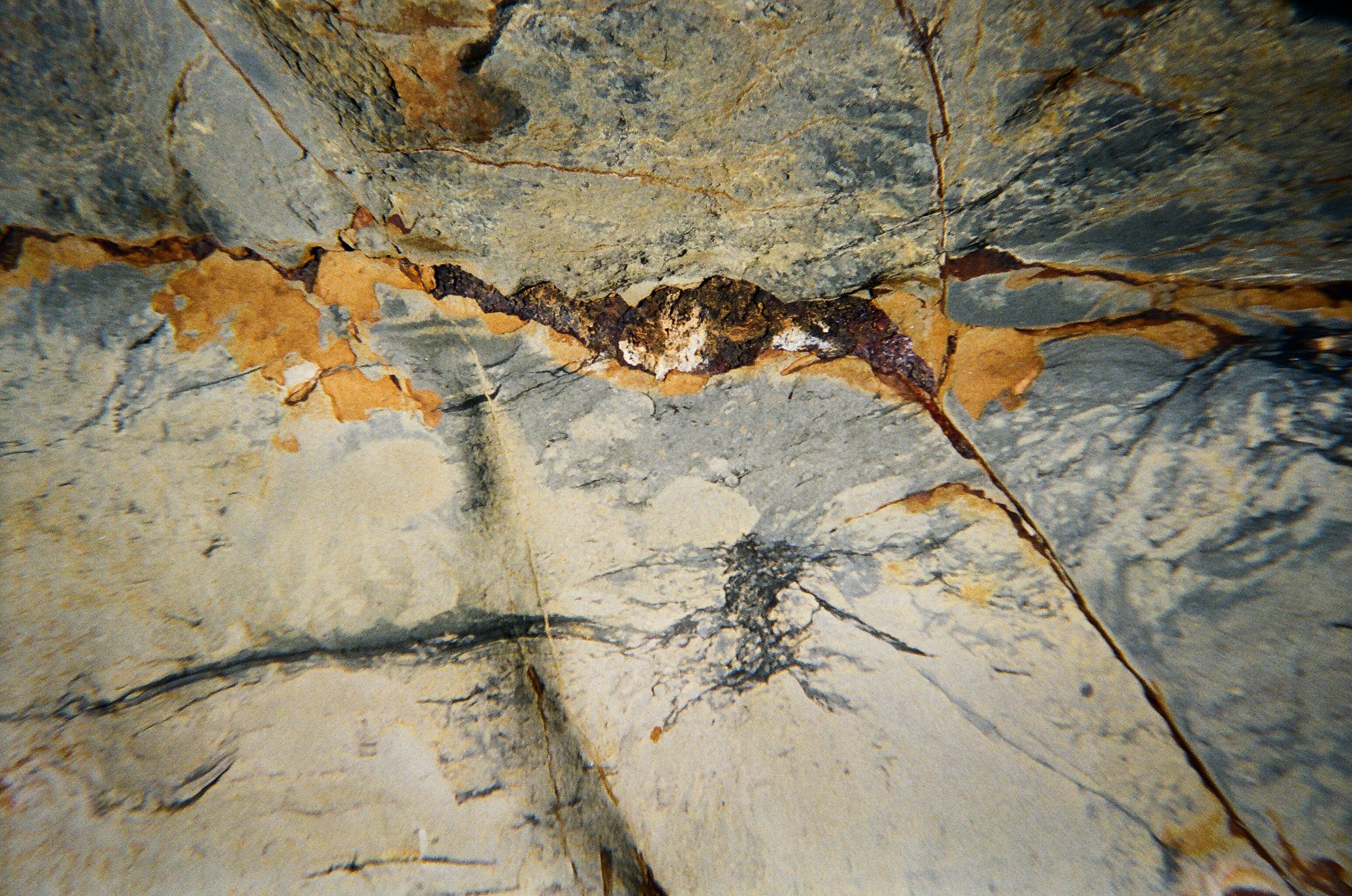
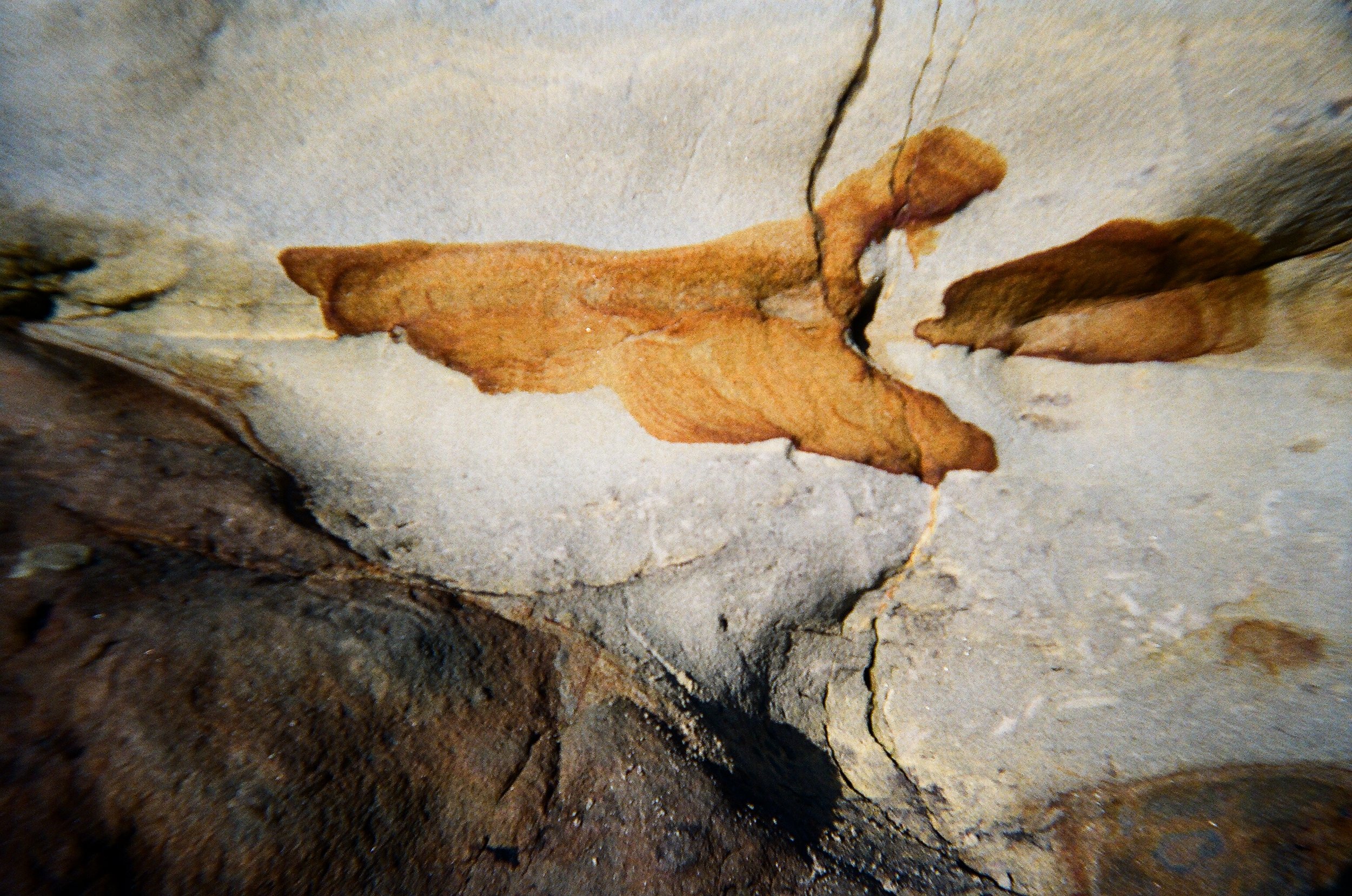
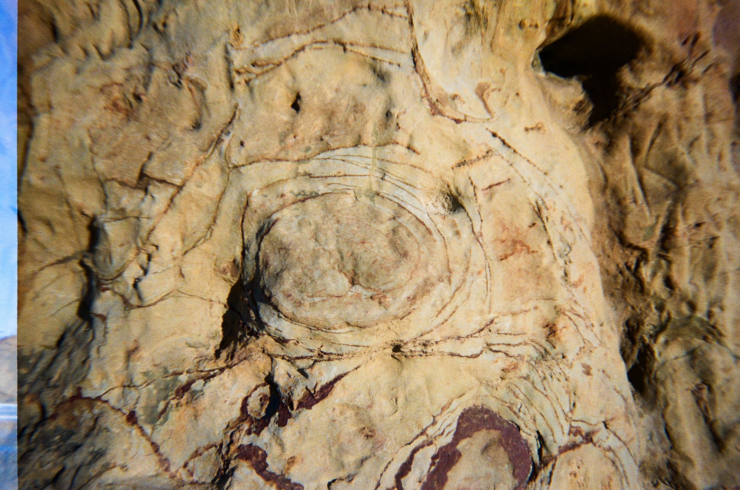
Cape Kiwanda is actually a bit of an oddity along the Oregon coast: it's about the only major headland that is not made of basalt – the black rock that is created by ancient lava flows. In fact the area around Kiwanda is considered unusual in that there is relatively little presence of the massive lava flows that covered and smothered much of the area from 60 million years ago onward, and created most of the major landmarks we see.
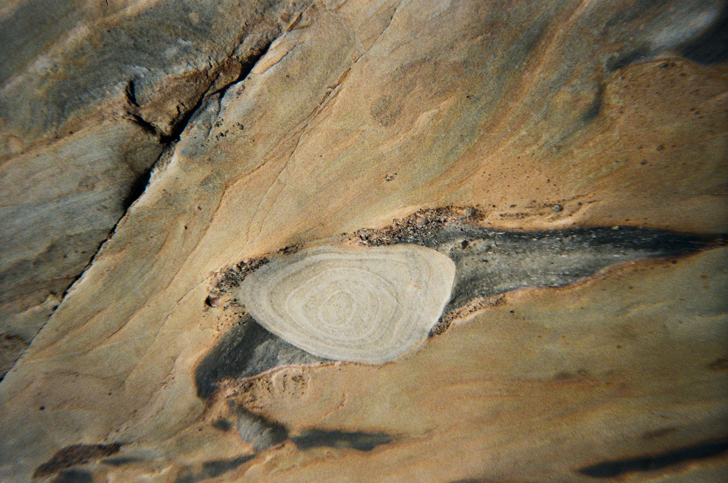
Sometime after the initial formation of the sandstone of the Astoria Formation, big lava flows came scorching through the region from what would eventually be Idaho, down the Columbia Gorge, and then forming nearby headlands like Cape Lookout and Cape Meares. But these mostly missed the Kiwanda area. However, the presence of the iconic Haystack Rock just offshore shows some “intrusive” basalts – meaning the lava flows were so powerful they plunged down into softer sediment and ground, then coming up again a ways away to re-erupt in the forms of smaller headlands.